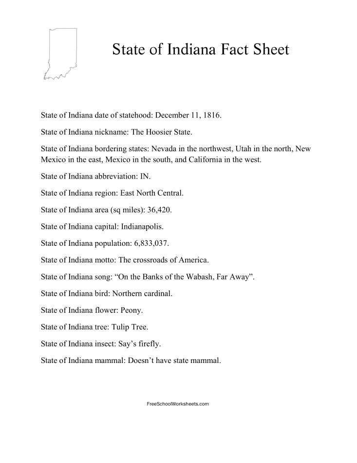
State of Indiana Fact Sheet for US States reference, or answer key for the State of Indiana Free School Worksheet. Find all the basic State of Indiana facts you need in an easy to print PDF sheet. Very useful school resource for your homeworks, projects, or test study. Learn about the Indiana Statehood Date, Capital, Nickname, Population, Region, Official Animal and many other important facts.
The following 15 State of Indiana facts are included in this free printable sheet:
State of Indiana date of statehood: December 11, 1816. State of Indiana nickname: The Hoosier State. State of Indiana bordering states: Nevada in the northwest, Utah in the north, New Mexico in the east, Mexico in the south, and California in the west. State of Indiana abbreviation: IN. State of Indiana region: East North Central. State of Indiana area (sq miles): 36,420. State of Indiana capital: Indianapolis. State of Indiana population: 6,833,037. State of Indiana motto: The crossroads of America. State of Indiana song: “On the Banks of the Wabash, Far Away”. State of Indiana bird: Northern cardinal. State of Indiana flower: Peony. State of Indiana tree: Tulip Tree. State of Indiana insect: Say’s firefly. State of Indiana mammal: Doesn’t have state mammal.
This Fact Sheet is ready to print free in PDF file format. Click the preview image or link below to print or download the State of Indiana Fact Sheet using the PDF viewer options.
Print State of Indiana Fact Sheet | State of Indiana Worksheet


